Global Courant 2023-05-23 05:18:42
The National Institute of Seismology, Volcanology, Meteorology and Hydrology (Insivumeh) forecasts greater chances of rain starting next Thursday, May 25, when accumulated levels are expected to be exceeded in a short time and an increase in the incidence of emergencies is noted. .
The director of Meteorology, César George, explained that from that date and during the weekend of May 27 to 28, a significant level of accumulated rain could be recorded, reaching between 75 to 100 millimeters in a period of 24 hours. .
Although for now the influence of any tropical system is not foreseen, according to George, the alert for heavier rains prevails on the Pacific side of Central America.
At the local level, according to this forecast, rainfall is expected to increase progressively starting next May 24 from the south to the center of Guatemala, so the alert is greater in the Bocacosta region.
Risk
Climate variations have been recorded for years, explained the expert.
“Since the year 2000 until now, temperatures have been higher, even this year, when the La Niña phenomenon ended, temperatures have been high, favoring a lot of rain in a short time,” said George.
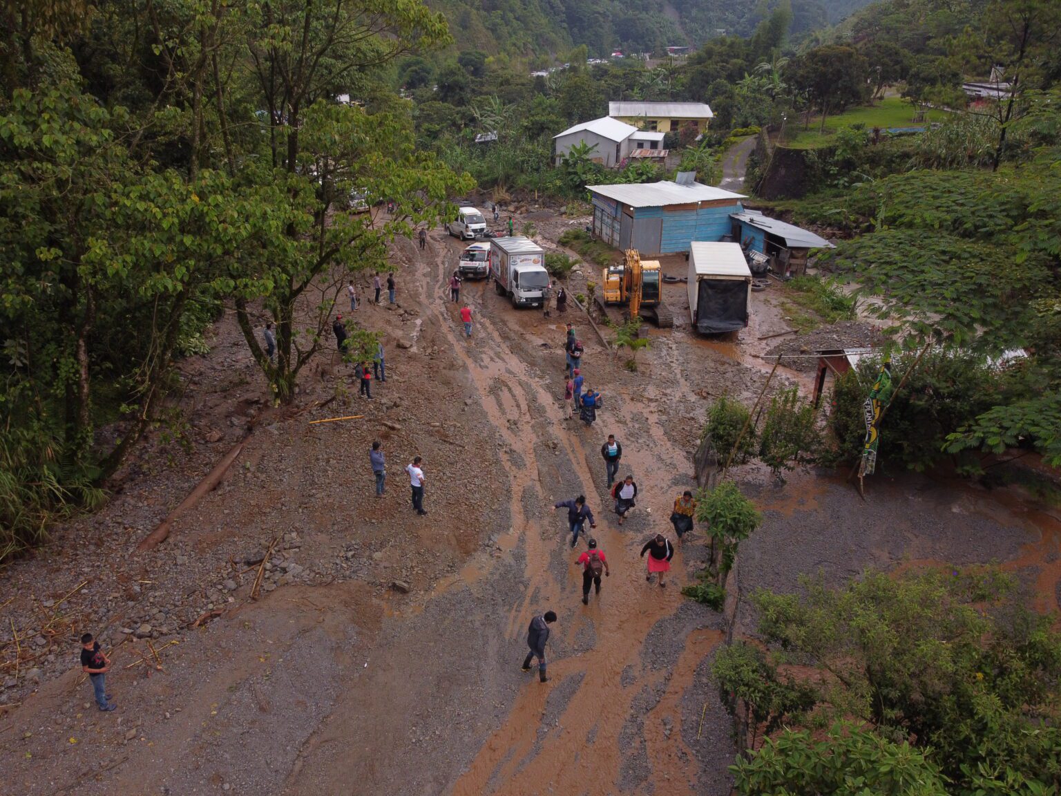
“We are concerned about the Northern Transversal Strip because since 2020 it had not rained, that region is very vulnerable, so as the rains appear there we can present serious problems due to landslides and floods,” he warned.
The most vulnerable regions are Alta Verapaz, Franja Transversal del Norte, Caribe and Sur de Petén.
Forecast
In the last 24 hours, from May 21, the largest accumulated rains were reported in Quiché, Alta Verapaz, and there were scattered rains in Petén.
George explained that for the second half of May the rains will be generalizing throughout the territory, recalling that in the last region where the rain begins is in Petén, from May 25 to June 5.
For this week, more rainy conditions are expected in Petén and the Northern Transversal Strip. But, in addition, by the beginning of June it is expected that they will spread to Boca Costa and the southwest of the country.
The Insivumeh prepared a risk map for the rains, in which, according to George, “clearly the most vulnerable places are the southern part of Petén, Franja Transversal del Norte.” In these regions, he highlighted that excess rainfall could be recorded from May to June.
In addition, he said that for this season it was forecast that high temperatures would persist in May and therefore the possibility of continuing to register severe local storms, strong rain with wind and sometimes hail.
As of this Wednesday, May 24, temperatures between 36 and 38 degrees are expected in Petén and the eastern region.
He stressed that the instability of the climate has been marked in the eastern region, especially Zacapa where only four rains reached more than the level that it would rain in May.
eastern waves
Currently, according to George, there are two easterly waves approaching from the Atlantic side.
“They are normal migratory systems of the rainy season that, as they get closer to Central America, can intensify the rains in the national territory. Also many of these waves from the East become depressions and tropical storms ”, he specified.
Canicula
George recalled that a heatwave period is also planned from July 10 to 20 due to the El Niño phenomenon. In addition, he said that associated with this same phenomenon, between 16 and 18 tropical storms are expected in the country.
Where there is more possibility of the presence of heatwave is part of Zacapa, Jutiapa, Chiquimula, El Progreso, part of Baja Verapaz, north of the department of Guatemala and south of the department of Quiché.
Hurricanes and storms
During the hurricane season in the Atlantic, the formation of 12 to 14 tropical storms is expected; however, “the forecasts are constantly changing,” warned the expert.
In the Pacific part, due to the presence of the El Niño phenomenon, an active season is expected and 16 to 18 tropical storms are estimated.
“It is unlikely that a tropical storm will be registered in the first part of this rainy season, but it is not ruled out that there will be at least one that approaches Central America between August and October, directly or indirectly,” he said.


